


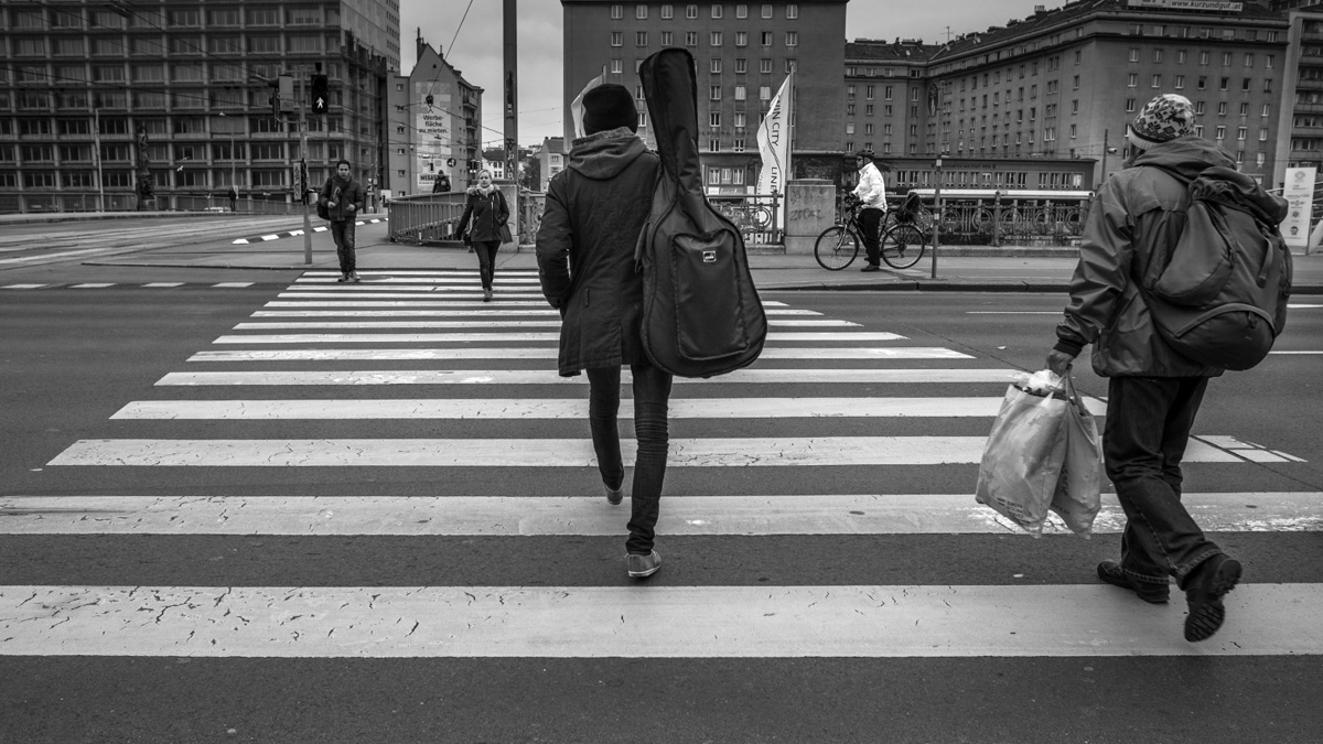
For decades, urban planners in the United States have closely tracked vehicle traffic while paying far less attention to how pedestrians move through cities. A new study from the Massachusetts Institute of Technology (MIT) aims to change that by creating the first complete, city-wide model of pedestrian activity in New York City.
Researchers at Massachusetts Institute of Technology have assembled a comprehensive, routable dataset of sidewalks, crosswalks, and footpaths across all five boroughs—marking the first full pedestrian network model for any U.S. city. The model enables planners to better understand where people walk, where pedestrian infrastructure is lacking, and where safety risks are highest.
The research was led by Andres Sevtsuk, associate professor in MIT’s Department of Urban Studies and Planning, and will be published in Nature Cities.


“We now have a first view of foot traffic all over New York City and can check planning decisions against it,” Sevtsuk said. “New York has very high densities of foot traffic outside of its most well-known areas.”
Beyond a Manhattan-centric view
While Manhattan records the highest pedestrian volumes per block, the study found that many streets in Queens, Brooklyn, and the Bronx experience foot traffic comparable to large parts of Manhattan—yet often receive far less investment in pedestrian infrastructure.
“Midtown Manhattan has by far the most foot traffic, but we found there is a probably unintentional Manhattan bias when it comes to policies that support pedestrian infrastructure,” Sevtsuk said. “There are a whole lot of streets in New York with very high pedestrian volumes outside of Manhattan… and we’re able to show, based on data, that a lot of these streets have foot-traffic levels similar to many parts of Manhattan.”
Using pedestrian count data collected by New York City’s Department of Transportation in 2018 and 2019, the MIT team calibrated the model to estimate foot traffic across the entire city, including areas where pedestrian counts were not directly measured.
The results show that Midtown Manhattan sees an average of about 1,697 pedestrians per sidewalk segment per hour during the evening peak. Lower Manhattan’s financial district follows at 740 pedestrians per hour, with Greenwich Village at 656. Several neighbourhoods outside Manhattan—including Brooklyn Heights, University Heights in the Bronx, and parts of Queens—record more than 200 pedestrians per sidewalk segment per hour.
Identifying risk, not just crashes
The study also advances how pedestrian safety is measured. Instead of focusing only on locations with the highest number of crashes, the researchers calculated crash risk on a per-pedestrian basis, offering a clearer picture of where walking is most dangerous.
“A lot of cities put real investments behind keeping pedestrians safe from vehicles by prioritizing dangerous locations,” Sevtsuk said. “But that’s not only where the most crashes occur. Here we are able to calculate accidents per pedestrian, the risk people face, and that broadens the picture in terms of where the most dangerous intersections for pedestrians really are.”
Co-author Rounaq Basu, assistant professor at Georgia Tech, noted that some high-profile areas with many crashes are not necessarily the most dangerous places to walk.
“Places like Times Square and Herald Square in Manhattan may have numerous crashes, but they have very high pedestrian volumes, and it’s actually relatively safe to walk there,” Basu said. “There are other parts of the city, around highway off-ramps and heavy car-infrastructure… which turn out to have a disproportionate number of crashes per pedestrian.”
Implications beyond New York
The researchers say the model could help guide pedestrian infrastructure investments, evaluate development proposals, and support climate goals by encouraging non-motorised travel. While New York City is already engaging with the MIT team on potential policy applications, the approach is designed to be transferable.
Sevtsuk said the model is now being adapted for use in Los Angeles, as well as across more than 140 cities and towns in the state of Maine. He hopes the work encourages cities nationwide to rebalance decades of car-focused planning.
“Very few cities make plans for pedestrian mobility or examine rigorously how future developments will impact foot traffic,” Sevtsuk said. “But they can. Our models serve as a test bed for making future changes.”
Author